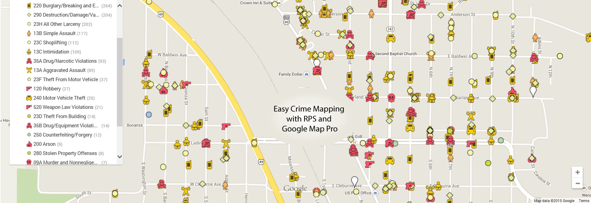
RPS Geo-Analysis
Not long ago, it was an expensive proposition for Public Safety agencies around the world to have the ability to view their data spatially. That changed in December 2014, when Google announced that they would be providing the Google Map Pro functionality for free. We immediately set about making it easier for the RPS user community to take advantage of this new capability, and a week after the Google announcement, we had the improved query extract functionality built into RPS.
A few simple steps are all that is needed to make distributable and publishable crime and activity maps of your Public Safety information.
Geo-Analysis Ideas
- Compstat Shift Briefing of recent activity or patterns
- Burglary/Theft activity
- Vehicle Thefts/Break-ins
- Traffic Stop locations
- Dispatch Calls by Type
If you are ready for you organization to see it’s data differently, give us a call today.